Welcome to the Modern Surveying and Mapping Technologies
where we Conduct Comprehensive Monitoring and Virtual Topographic Survey without going to the Project Site
Surveying and Mapping has transformed from slow, labor – intensive manual measurements to highly AI digital platform.
This evolution significantly improves the speed, accuracy, and depth of data collection across the projects of the government.
Email Us Today
daat04@yahoo.com
Get Your Free Demo
Our company is conducting a free presentation on the Digital Mapping to assist every National Government and Local Government Units to fully understand the new technology and innovation.
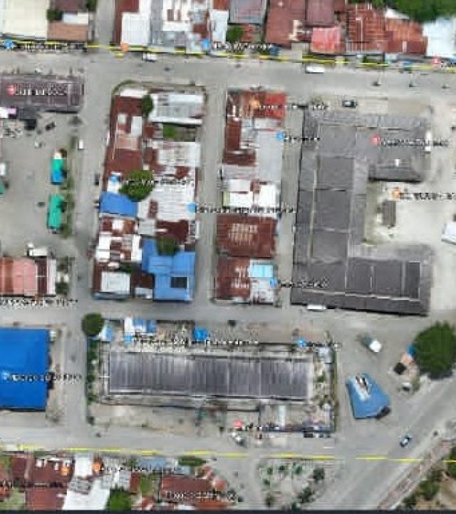
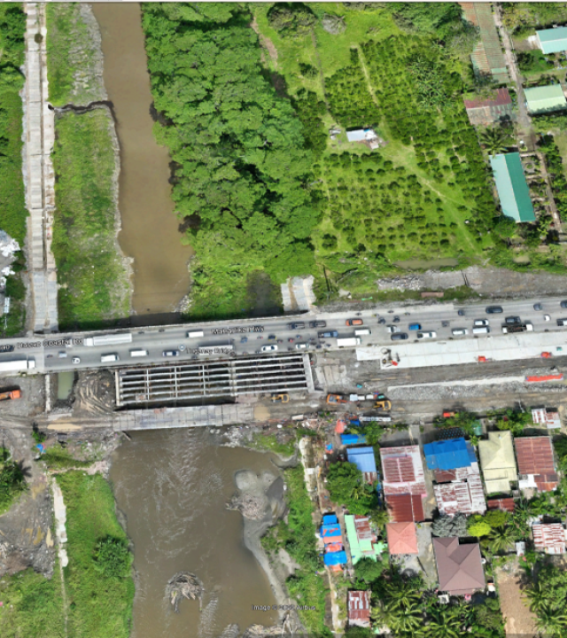
Can generate high-resolution, accurate and detailed 2D and 3D Maps.
Digital Surveying
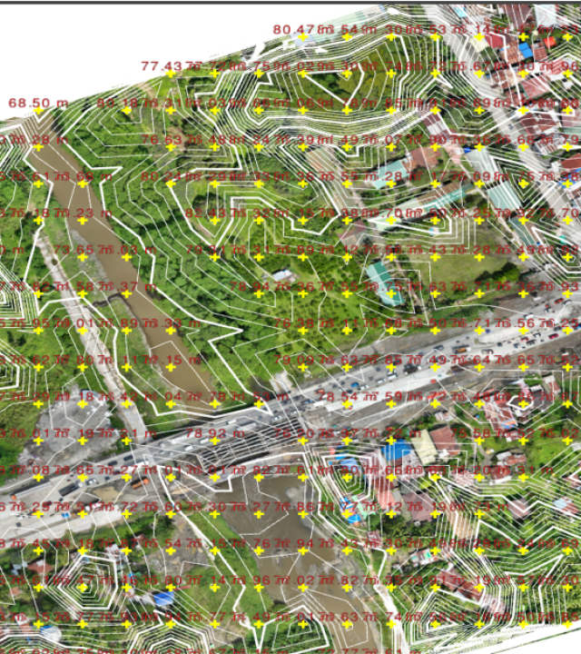
Creates Digital 3D Maps of the Project Site that represents the actual topography and geography including ALL the physical features of the Site.
digital Monitoring
Real-Time Progress Monitoring of the Entire Project Site Using the Digital Maps.
digital Topographic Survey
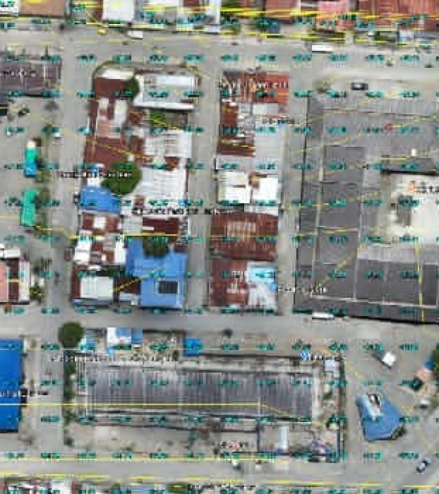
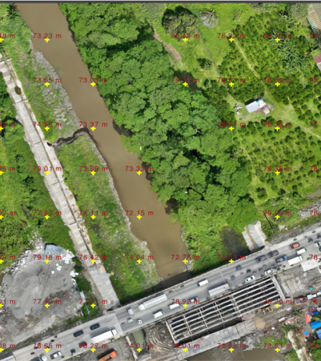
Digital Maps can be used and Integrated to Engineering Autocad and Civil 3D for conducting Virtual Topographic Survey without going to the Site
WE OFFER:
MODERN SURVEYING AND MAPPING TECHNOLOGIES
Intended for capturing and collecting data points for 2D and 3D maps and models for topographic, monitoring, and site inspection for government projects.
Uses highly specialized data sensors and payloads with high resolution RGB mechanical shutter cameras for Photogrammetry and LIDAR for terrain modeling.
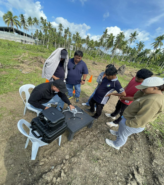
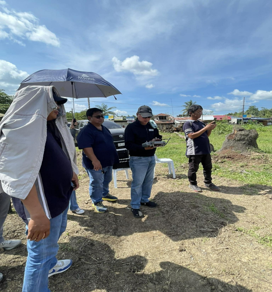
Using aerial drones to capture thousands of overlapping high-resolution images and convert them into 3D maps and models in fraction of time needed for effective monitoring of projects
PHOTOGRAMMETRY USING DRONE TECHNOLOGY
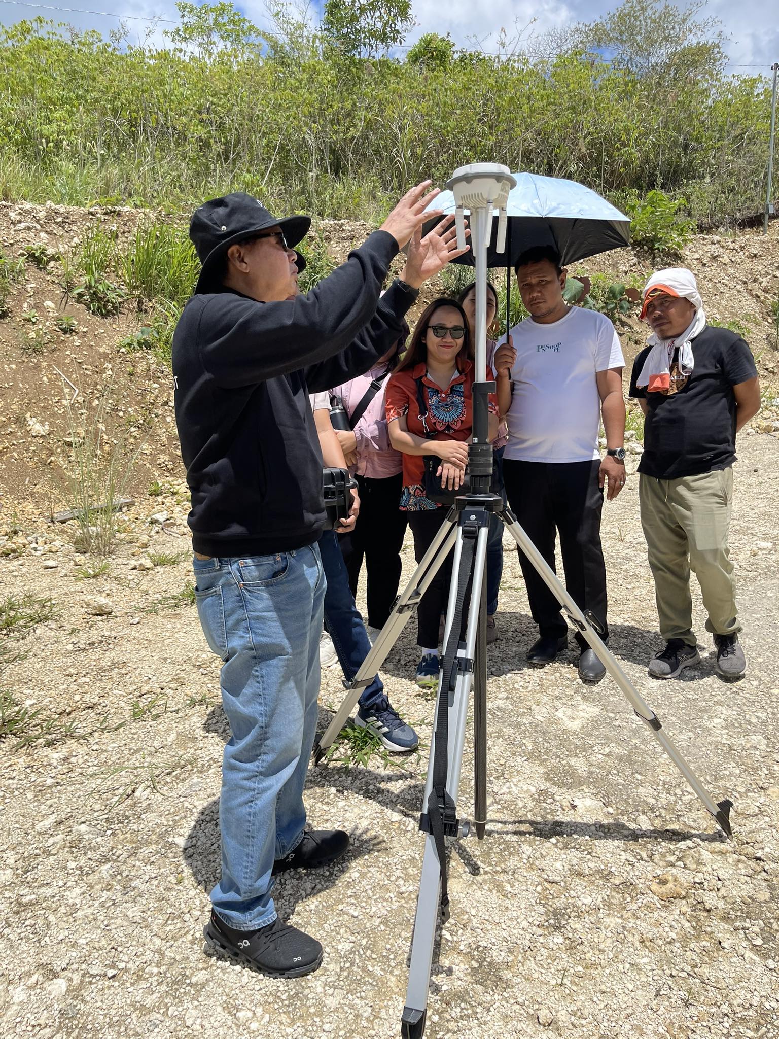
Using Global Navigation Satellite System via Real Time Kinematic(RTK) to find precise real-time 3D locations of land/real estate anywhere on Earth
GNSS / GPS RTK INTEGRATION
Captures millions of spatial data points per second to create high-density point clouds, allowing for precise digital modelling of complex structures and terrains
LIDAR USING DRONE TECHNOLOGY
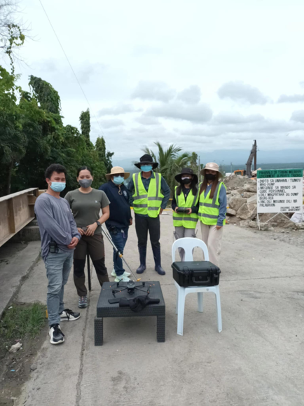
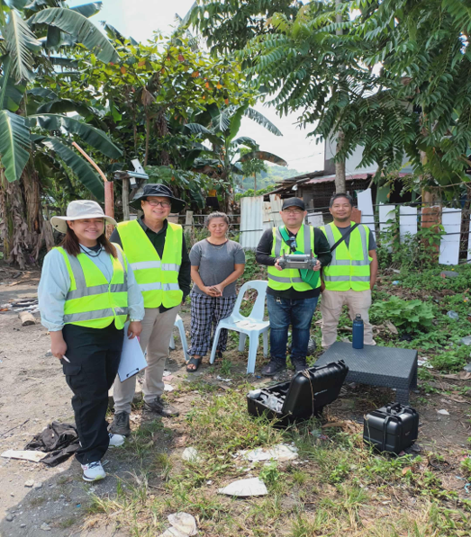
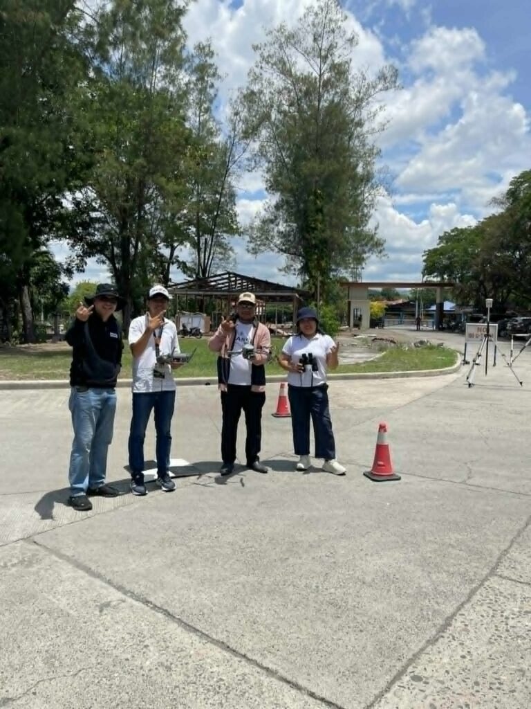
Our Recent Projects
Our Company is the First Drone Company in the Mindanao Duly Authorized to Conduct Commercial Operations on Surveying and Mapping as per RPAS Operator Certificate issued by the CAAP.